The formation of the Wadden Sea
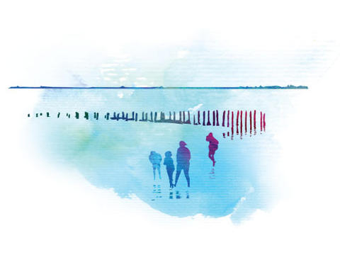
A Wadden Sea of change
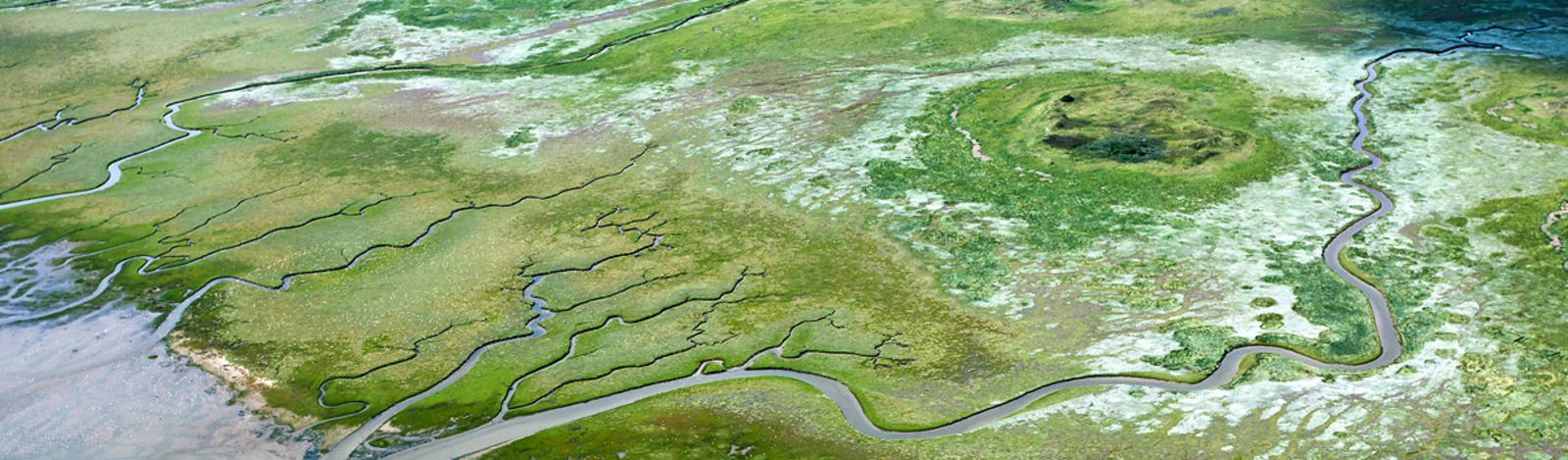
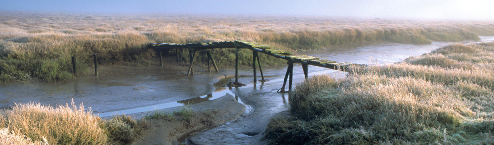
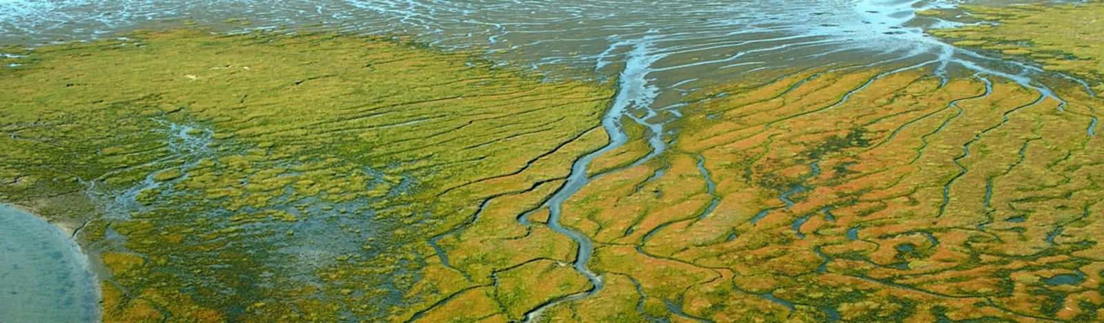
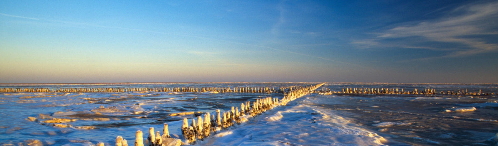
When post-glacial sea level rise began to slow down about 8,000 years ago, the Wadden Sea emerged with a seaward barrier of dune islands and sandy shoals, and a landward area of tidal flats and salt marshes. The largest coherent tidal flat area of the temperate world had evolved.
The current landscape and submarine seascape is almost a complete product of the last three glacial periods and their interglacial phases, including the present one. Presumably, the past interglacial periods gave rise to coastal environments similar to the present Wadden Sea. At least, fossils indicate a marine fauna similar to the present one, and ancient cliffs and marine sediments show how far interglacial seas have transgressed into the land.
Link to: the southern North Sea-Animation and graphics from http://www.iwss.org/coastline.html?&L=0
The Wadden Sea preserves a record of our Holocene history
The rates of sea-level rise and sediment supply varied over time and locality, resulting in continuous dynamics in the coastal morphology of the Wadden Sea. As a result, at times parts of the coast have grown where the sea tides and waves have washed in more sediment from the adjacent offshore zone than was needed to compensate for sea level rise. At other times, the coast retreated in some places when sediment supply was unable to compensate for sea level rise. In this way, the Holocene history of sea level, climate, and depositional responses has been preserved in the stratigraphic record of the Wadden Sea.
![]()
Transgression curve of the average tidal high water in the southern North Sea (source: K.-E. Behre, 2004). The Wadden Sea coast developed about 8,000 years ago, when the average sea level rise decreased from 1.25 m to 0.14 m per one hundred years. Since then, sediment supply from the sea has sufficiently balanced a slow sea-level rise to maintain a coastal configuration of a seaward sandy barrier, extensive tidal flats and episodically flooded marshes.